Size of this preview: 800 × 450 pixels. Other resolution: 2,560 × 1,440 pixels.
Original file (2,560 × 1,440 pixels, file size: 2.25 MB, MIME type: image/png)
Summary
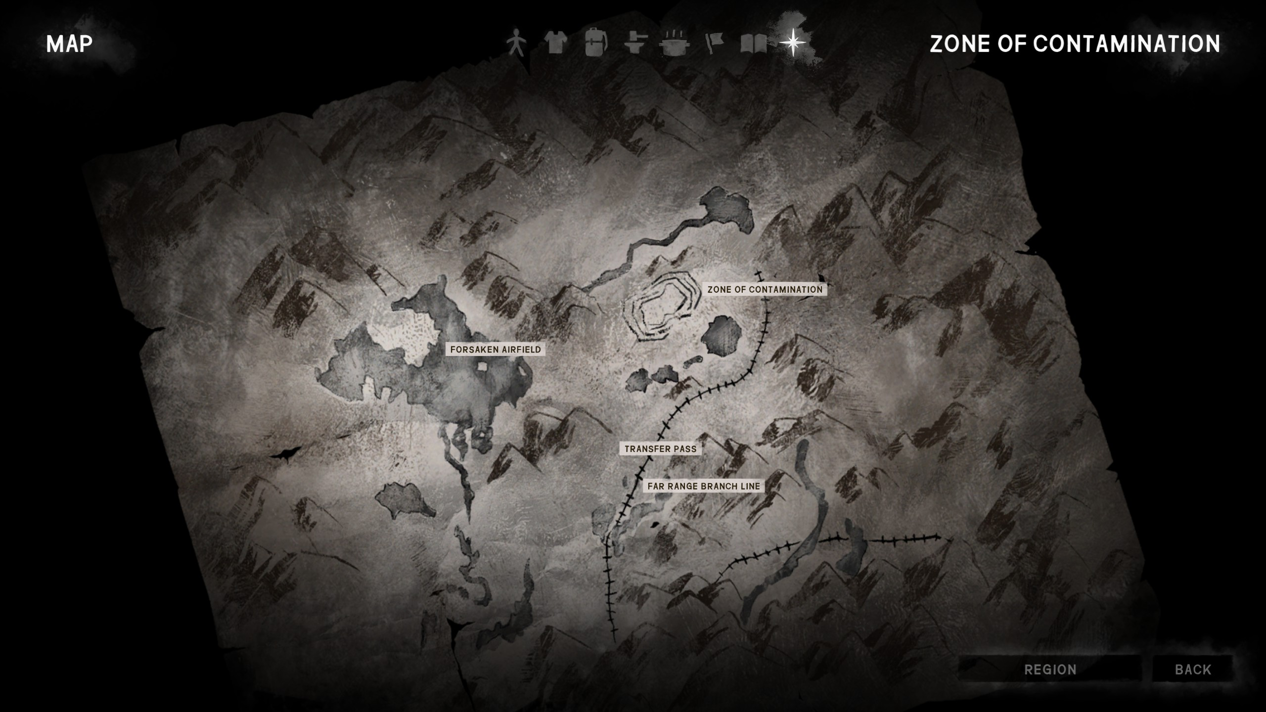
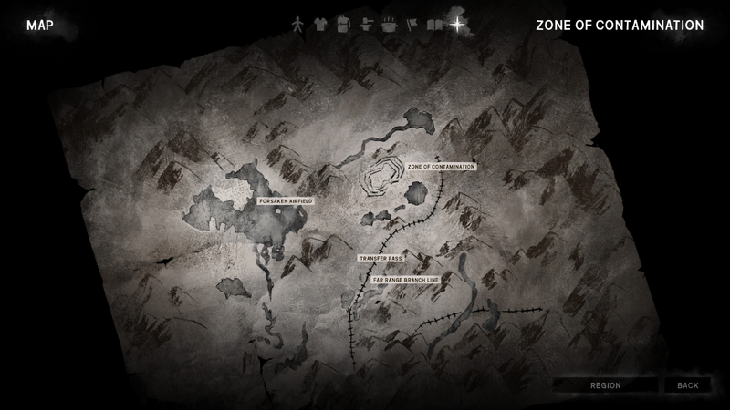
Map of the Far Territory, as of 2024
Licensing
This file is licensed under the Creative Commons Attribution-Share Alike License.
File history
Click on a date/time to view the file as it appeared at that time.
| Date/Time | Thumbnail | Dimensions | User | Comment | |
|---|---|---|---|---|---|
| current | 12:15, 21 April 2026 | | 2,560 × 1,440 (2.25 MB) | Maintenance script (talk | contribs) | == Summary == Importing file |
You cannot overwrite this file.
File usage
The following 2 pages use this file: